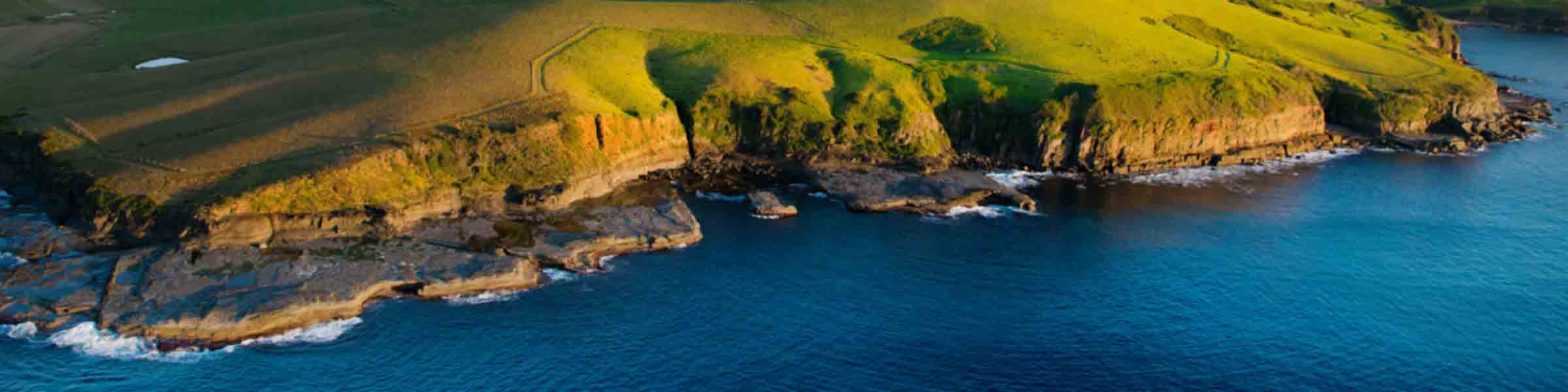
Kiama Maps & Guides
We encourage you to explore every nook and cranny of the Kiama area using our local maps below. To really get the most of your time in Kiama, why not check out some of our handy and carefully crafted visitors’ activity guides.
Below you will find some important downloadable maps and a selection of guides. If it’s hard copies you’re after, please feel free to call into the Kiama Visitor Information Centre, located at Blowhole Point who are well stocked in maps of every description.
Kiama Townships Map
This downloadable map covers the townships of Kiama, Jamberoo, Gerringong and Gerroa.
Kiama Townships Map
Regional Map
This one page map provides a snapshot of the Kiama CBD as well as the surrounding region, from Windang in the north, Fitzroy Falls in the west and Berry in the South.
Kiama Regional Map
Kiama Mobility Map
This map is a general guide to accessing the Kiama Town Centre. On the face of the map public toilets, seats, etc are shown. On the back of the map services which may be useful are listed. Please contact Kiama Council on 02 4232 0444 for a larger copy.
Kiama Mobility Map
Kiama Walks Guide
This pocket guide outlines nature walks across the Kiama area, from Carrington Falls, to Seven Mile Beach National Park, and everything in between. Various grades and terrain.
Kiama Walks Guide
Kiama Cycle Guide
Please visit our Cycling page for more information.
Kiama Cycling Guide
Kiama Visitor Guide
The 2025 Kiama Visitor Guide is the must-have handbook for visitors, highlighting natural experiences, major attractions, places to dine and shop, as well as where to lay your head at the end of the day.
2025 Kiama Visitor Guide